


Tonight: Expect warm conditions this Halloween-Eve with temperatures in the upper/mid 60s. Clouds will increase through the evening with a southern wind increasing speed overnight; gusting up to 29 mph. Secure any Halloween decorations!

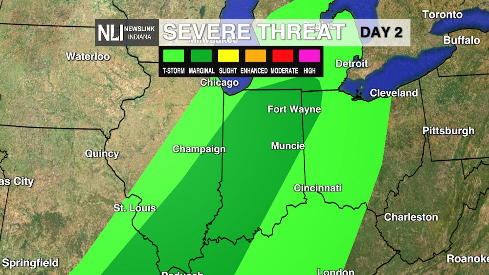
Tomorrow: This warmth will stick around for Halloween luckily, but spotty showers will begin around 6am and last until 6pm. Some pockets could be more severe with a possible thunderstorms. The main concern is gusts; they will reach up to 36 mph in the afternoon. By 7pm conditions will be ominously cloudy and windy, watch out trick-or-treaters!

7-Day: The cold front isn't going to cool us down much, we're still sitting in the mid-60s-low-70s for the next week. Halloween weekend is mostly sunny before another chance of rain going into Monday.

-- Weather Forecaster Olivia Smithers
Follow us on Twitter @NLIWeather for breaking weather updates.
NewsLink Indiana is a proud Ambassador for the NOAA Weather-Ready Nation program.
For more information about the Weather-Ready Nation program please click HERE .
Top Stories:


