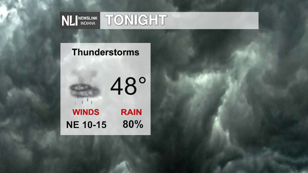
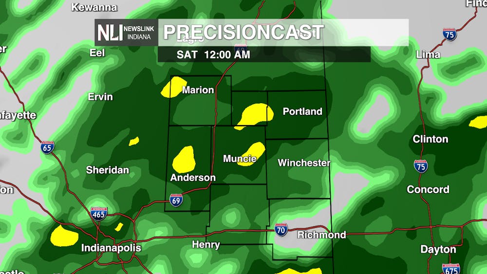
Tonight: Storms will occur throughout the night, but expected to leave us by early Saturday morning. Wind gusts may reach around twenty miles per hour, but generally stay between ten to fifteen. We will reach a low in the upper forties and that low will stick around into Saturday morning.
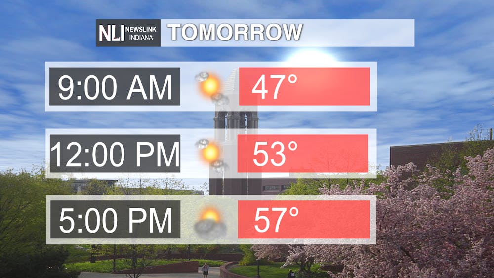
Tomorrow: Starting out the morning with cooler temperatures, a high will be reached by Saturday evening in the upper fifties. Sunny skies are expected for throughout the day, but more clouds are expected to roll in as we move into the evening.
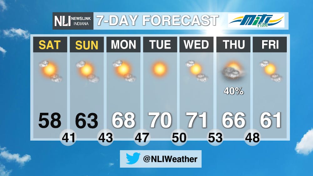
7 Day: Temperatures will remain cooler as compared to what we have been experiencing for this fall season. Tuesday and Wednesday is expected to be the warmest day of the week, but those temperatures should cool back down as the week goes on. Sunny skies are expected for most of the week.
---Weather Forecaster Vanessa Hintz
Follow us on Twitter @NLIWeather for breaking weather updates.
NewsLink Indiana is a proud Ambassador for the NOAA Weather-Ready Nation program.
For more information about the Weather-Ready Nation program please click HERE