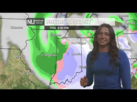
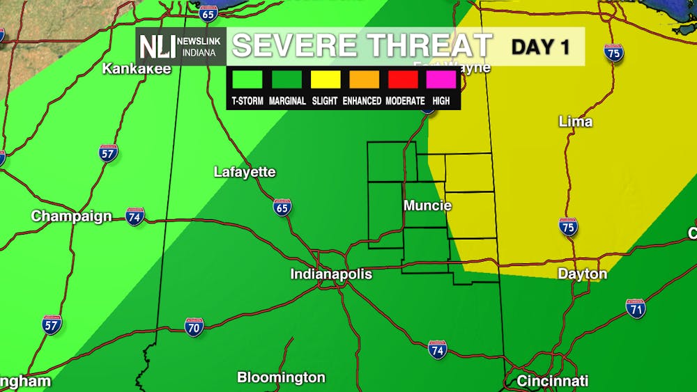
Today: A strong cold front will slide through the state later this afternoon, bringing heavy rain and scattered thunderstorms. Some thunderstorms could be strong to severe. Most of Eastern Central Indiana is under a marginal risk for severe weather. A higher, slight risk of severe weather includes Jay, Randolph, and Wayne counties. The main hazards associated with this weather system include gusty winds, locally heavy rain, and small hail. While the threat of a tornado is low, it cannot be ruled out as a possibility. Make sure to stay weather aware today, as the threat for severe weather exists throughout most of Indiana.
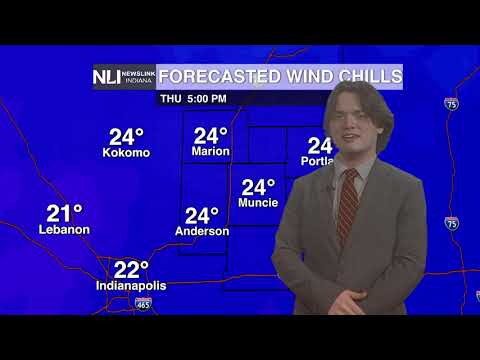
High temperatures should reach the mid 70s today before falling rapidly upon the arrival of the cold front. Winds will be out of the southwest at 15-20mph, gusting up to 35-40 mph at times.
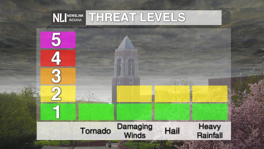
Tonight: Rain and thunderstorms become more scattered into this evening, tapering off before midnight. Skies will become partly cloudy overnight, with a low in the lower 40s. It will still be breezy, with winds out of the northwest at 15mph, gusting to 25mph at times.

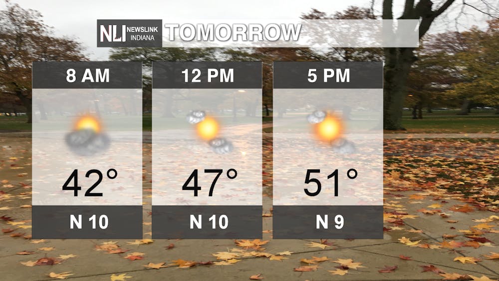
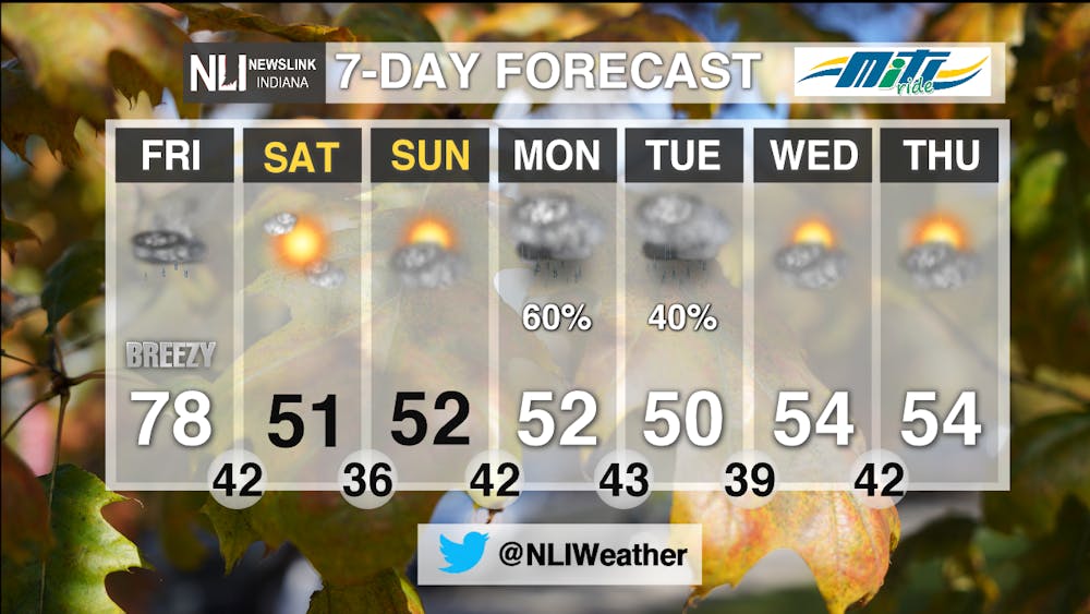
Weekend: After a high in the 70s on Friday, temperatures will struggle to even reach 50 on Saturday and Sunday. Northerly winds will help bring in cold air, keeping temperatures well below average. We will see lots of sunshine this weekend, as high pressure sets up over the region keeping us dry and sunny. It will be much cooler this weekend than it has been this week, so get outside and take advantage of the fall weather!
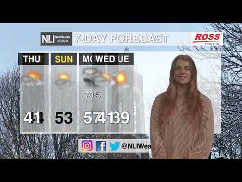
7-day: After a beautiful weekend, rain chances return in the 7-day forecast, with widespread rain expected Monday afternoon into Tuesday morning. After those rain chances, we will see intermittent periods of sun and clouds for the rest of the week. It will feel much more fall-like, with high temperatures remaining over 10 degrees below average for the week.
-Weather Forecaster Maddi Johnson
Follow us on Twitter @NLIWeather for breaking weather updates.
NewsLink Indiana is a proud Ambassador for the NOAA Weather-Ready Nation program.
For more information about the Weather-Ready Nation program please click HERE


