Tonight: A relatively warm night is ahead, with low temperatures in the lower 50s throughout the night under partly cloudy skies. A brisk wind will keep it breezy outside, with winds out of the south at 10 mph, gusting up to 25 mph.

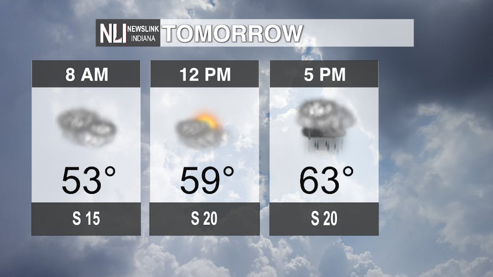
Tomorrow: Another warm day is on tap for Wednesday, but clouds will persist throughout the day. Temperatures will top out in the middle 60s, and the day will remain dry through at least mid-afternoon, with winds out of the south at around 20 mph. This remains until late afternoon and early evening, at which point an approaching cold front will spawn isolated severe thunderstorms, a couple of which could contain damaging winds and perhaps even an isolated spin-up tornado. As a result, the Storm Prediction Center has placed us in a marginal risk (1/5) for severe weather.

Seven-Day Forecast: After the cold front passes through early Thursday, temperatures will return to a winter-like feel, with highs in the upper 40s. This doesn't last for long however, as temperatures warm back up into the middle 50s by the weekend and into next week. Rain is likely Sunday and possibly into Monday, as a rainy pattern with near normal temperatures persists into the next work week. Mornings will still be quite cool, as low temperatures will continue to hover below freezing at times.

- Chief Weather Forecaster Noah Gordon
Follow us on Twitter @NLIWeather for breaking weather updates.
NewsLink Indiana is a proud Ambassador for the NOAA Weather-Ready Nation program.
For more information about the Weather-Ready Nation program please click HERE