
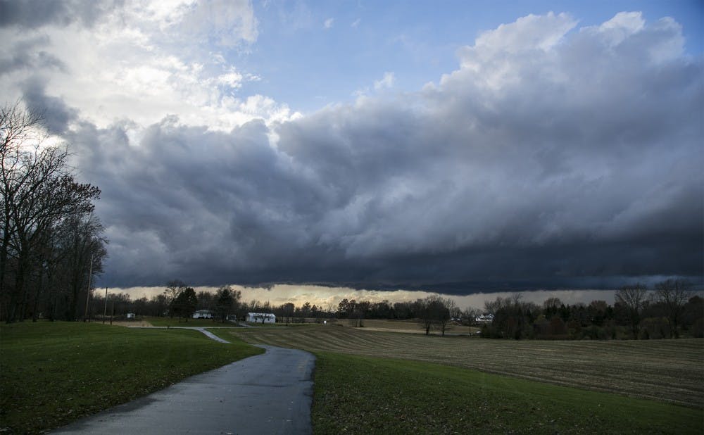
The National Weather Service (NWS) has issued a severe thunderstorm watch with enhanced risk through the evening, according to NWS's Storm Prediction Center. The watch will affect multiple counties across central Indiana, including Delaware County. The watch will be in effect until midnight.
Earlier in the afternoon, a hazardous weather watch was put in affect earlier in the afternoon. The NWS warned thunderstorms would likely roll in over the evening and there would be possible wind gusts of up to 45mph.
In the likely event of a tornado warning, those in affected counties are encouraged to seek shelter in a lower interior such as a basement or storm shelter, and stay away from windows, according to the NWS.
This brief will be updated with more information, as it becomes available.
Contact the Daily News via email at editor@bsudailynews.com.
Read More

Hot Friday gives way to weekend rain
By Jay Lesyk / 10 hours agoWeather Forecaster Jay Lesyk is tracking a hot Friday followed by a rainy weekend.

Ball Student Government Association (SGA) holds inauguration for new executive board
By Shelby Anderson / 11 hours agoSGA welcomed its new executive board for the next school year during its last meeting of the 2024-25 school year.

Textbook affordability with Ball State First Day
By Ball State Daily / 19 hours agoBarnes & Noble helps reduce textbook costs for students
