
A mixture of snow, freezing rain, and ice are all possible across East Central Indiana as a winter weather system moves through the region late Wednesday and into Thursday.
While the first half of the day will remain quiet Wednesday, a potent low-pressure system will move into our region by mid-afternoon. This system will bring a messy mix of freezing rain, ice, and some snow accumulations. Precipitation will begin briefly as rainfall before quickly becoming mainly freezing rain for several hours through the afternoon and into the overnight hours on Thursday, creating worsening travel conditions both for the evening commute Wednesday and into the work commute early Thursday.

As a result, the National Weather Service in Indianapolis has issued a Winter Weather Advisory for Blackford, Delaware, Grant, Henry, Jay, Madison, and Randolph counties in East Central Indiana.

Total snow accumulations look to be between 1-2 inches of snow, but icing concerns will be the more impactful factor with this storm, as anywhere from 0.10-0.25 inches of ice will fall on all surfaces. This can make for slippery roads and sidewalks.

Now is the time to prepare for hazardous conditions. This includes bringing pets and livestock into sheltered areas as well as winterizing homes and vehicles. Freezing rain can create black ice that easily leads to slide-offs and accidents.
- Chief Weather Forecaster Noah Gordon
Follow us on Twitter @NLIWeather for breaking weather updates.
NewsLink Indiana is a proud Ambassador for the NOAA Weather-Ready Nation program.
For more information about the Weather-Ready Nation program please click HERE
Read More
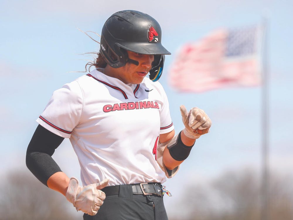
‘Committed to the process:’ Ball State softball’s McKayla Timmons talks about her work ethic and her future
By Zach Carter / 10 hours agoMcKayla Timmons looks back on her career with Ball State softball.

Rehearsing Sustainability: Ball State theater professors describe sustainability efforts within the department.
By Cristal Mariano and Dillon Rosenlieb / 11 hours agoBall State theater professors describe sustainability efforts within the department.

Ball State Carnival Postponed to April 26
By Staff Reports / YesterdayBall State University's Student Life confirmed via Instagram the campus' Friday Late Nite Carnival was postposed to Saturday April 26 from 6 p.m. - 12 a.m.
