
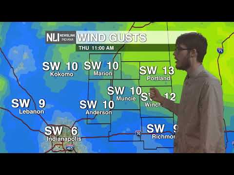
Tonight: Cloudy with gradual clearing with a low around 22, but by early morning hours will drop into the single digits. Winds will start to pick up at 10-15 mph throughout the night.

Tomorrow: Clouds will begin to increase as temperatures will hit 32 degrees for Valentine's Day. Winds will be 5-10 mph before a wintry mix enters the state.

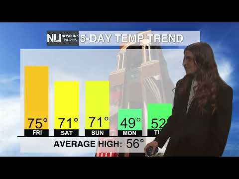
7 Day Forecast: Rain/Snow Saturday will be tricky on where the freezing line is throughout the day before transitioning into snow Sunday. Snow totals still remain uncertain. After Sunday, we will remain dry and cold especially at night with lows rapidly dropping into the single digits.

-- Weather Forecaster Hunter Luzadder
Follow us on Twitter @NLIWeather for breaking weather updates.
NewsLink Indiana is a proud Ambassador for the NOAA Weather-Ready Nation program.
For more information about the Weather-Ready Nation program please click HERE .


