
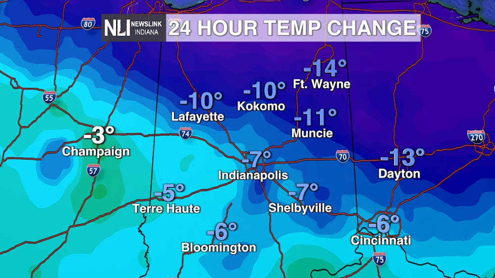
Tonight: Tonight will be the start of a frigid wave here in Muncie. Our low will be 4°, but it will feel like -5°. Mostly cloudy skies. We are under a Cold Weather Advisory until 9 a.m. tomorrow due to our negative feels like temperatures.

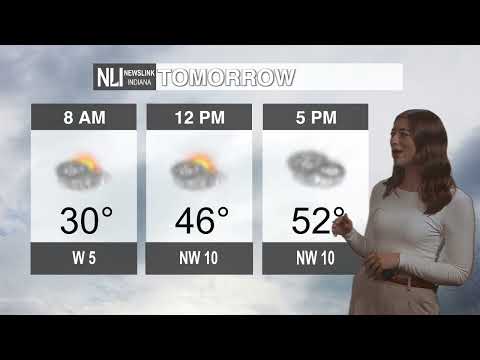
Tomorrow: Our high for the day will be 14°, and feel like 6°. In keeping with the day before, tomorrow is a day where being outside will be unpleasant. Single digit negative feels like temperatures return tomorrow evening.

Seven-Day Forecast: The start of the work week will be defined by a polar air mass moving in over the Midwest. Wednesday will have a 30% chance of snow, which will continue into the overnight hours. A 20% chance of snow exists on Tuesday for lingering snow showers in the morning and early afternoon. The weekend will have us crawling back to average temperatures on Sunday with a high of 38°, and a high of 42° on Monday. Monday will also bring another chance of snow showers, which I currently have at a 30% chance. Check back in later this week to see how that second system ends up developing.

-- Weather Forecaster Ian Kowalski
Follow us on Twitter @NLIWeather for breaking weather updates.
NewsLink Indiana is a proud Ambassador for the NOAA Weather-Ready Nation program.
For more information about the Weather-Ready Nation program please click HERE .