


Tonight: A cool night is in store for East Central Indiana, with lows in the mid to lower 40s with calm winds.

Tomorrow: Another calm day is ahead, with high temperatures across the region a degree or two colder, with high temperatures in the upper 60s and low 70s.

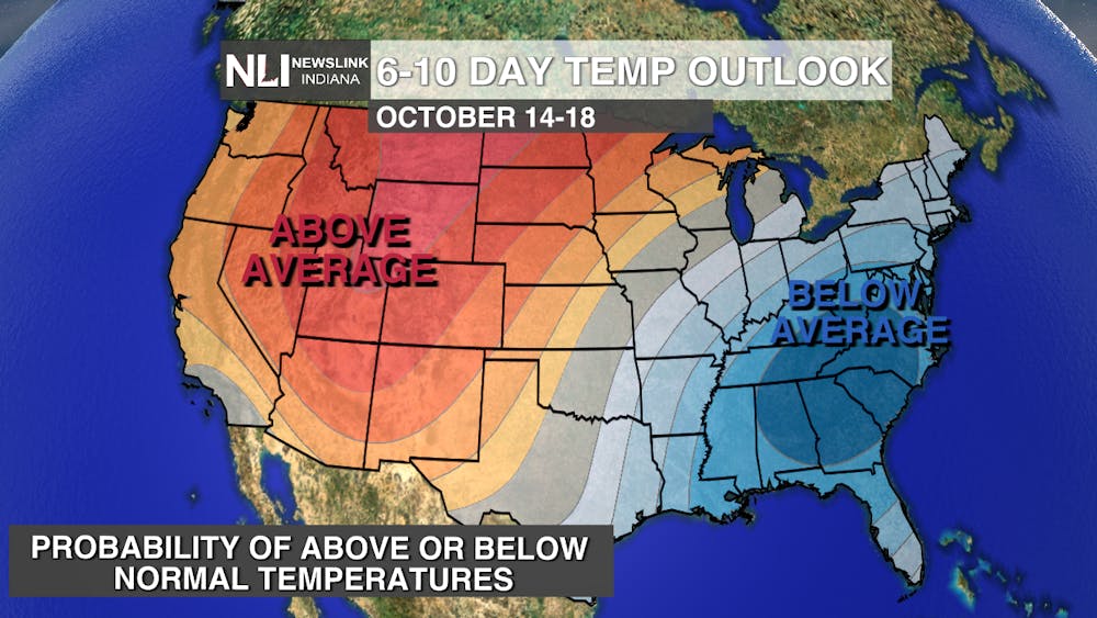
7-Day Forecast: We continue a dry and cool pattern throughout the rest of the week, with temperatures in the 70s through the weekend. As we move into next week however, much below average weather arrives with the passage of a cold front late Sunday night, allowing our first real shot of fall weather through midweek, with temperatures in the middle 50s. Overnight low temperatures will drop down into the mid to upper 30s, likely bringing patchy to scattered frost across most of the region for the first time this fall, ending the growing season. Drought is likely to return as rain chances remain scarce well into next week.

-- Chief Weather Forecaster Noah Gordon
Follow us on Twitter @NLIWeather for breaking weather updates.
NewsLink Indiana is a proud Ambassador for the NOAA Weather-Ready Nation program.
For more information about the Weather-Ready Nation program please click HERE .


