


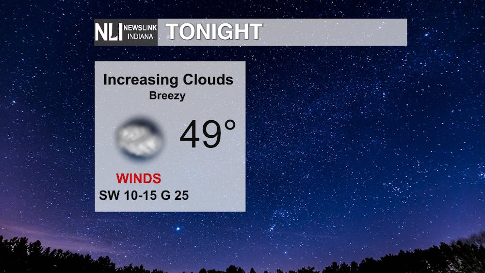
Tonight: Increasing clouds this evening with a mild low of 50 degrees. Conditions will be breezy, with a southwest wind gusting near 25 mph.
Tomorrow: The mild weather will continue into tomorrow starting in the upper 40s and pushing 70 by the dinner time. Southwest winds will be calmer than today, averaging at 10 mph. A spotty shower is possible overnight as warm front pushes north.

7-Day: As the cold front comes through Thursday, there is a possibility for a thunderstorm overnight into Friday morning. Temperatures will drop to the low 50s- mid 40s before a cool 38 on Monday. Chance of snow Monday evening to start a cooling trend.

- Weather Forecaster Olivia Smithers
Follow us on Twitter @NLIWeather for breaking weather updates.
NewsLink Indiana is a proud Ambassador for the NOAA Weather-Ready Nation program.
For more information about the Weather-Ready Nation program please click HERE


