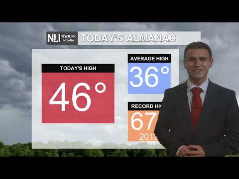
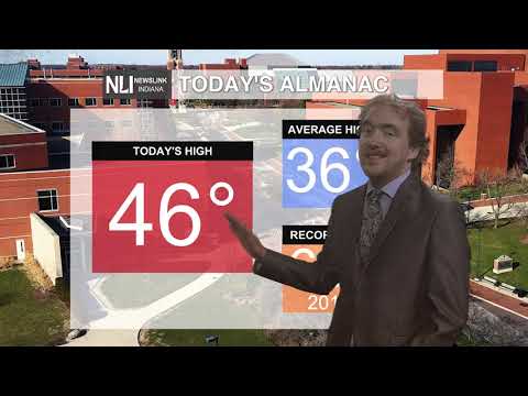
February Recap: February overall ended slightly below average in terms of both temperatures and precipitation. With a mixture of below and above average days, including starting and ending the month with days above average in the 50s, we ultimately landed half of a degree below average in terms of temperature. In terms of precipitation, we were slightly drier than normal with 0.34" below average, as dry conditions prevailed throughout much of the month.


Tonight: A mild low is in store as we head into March, with temperatures only dropping to 36 degrees under partly cloudy skies. Winds will be light of out the south-southwest at 5-15 MPH.

Tomorrow: A warm day is in store for the first day of March, with temperatures soaring into the mid 50s by the afternoon hours! Partly cloudy skies will persist throughout the day with light southwesterly winds at 5-10 MPH. Enjoy the warmth and sunshine!

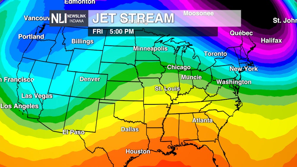
7 Day Forecast: The jet stream will be in control of determining with days are cold and warm this week. For a review, the jet stream is a river of air aloft that separates warm and cold air masses. When we're on the cold side of the jet stream, temperatures will be colder than average. This is definitely the case on Thursday, with a high of only 37. For the rest of the week though, we will be on the warm side of the jet stream, especially later in the week. With renewed moisture and warmth from the Gulf of Mexico, this will allow for temperatures to soar into the 60s by Saturday! Our next chances for precipitation return over the latter half of the weekend, just in time for Spring Break.


---Chief Weather Forecaster Maddi Johnson
Follow us on Twitter @NLIWeather for breaking weather updates.
NewsLink Indiana is a proud Ambassador for the NOAA Weather-Ready Nation program.
For more information about the Weather-Ready Nation
program please click HERE


