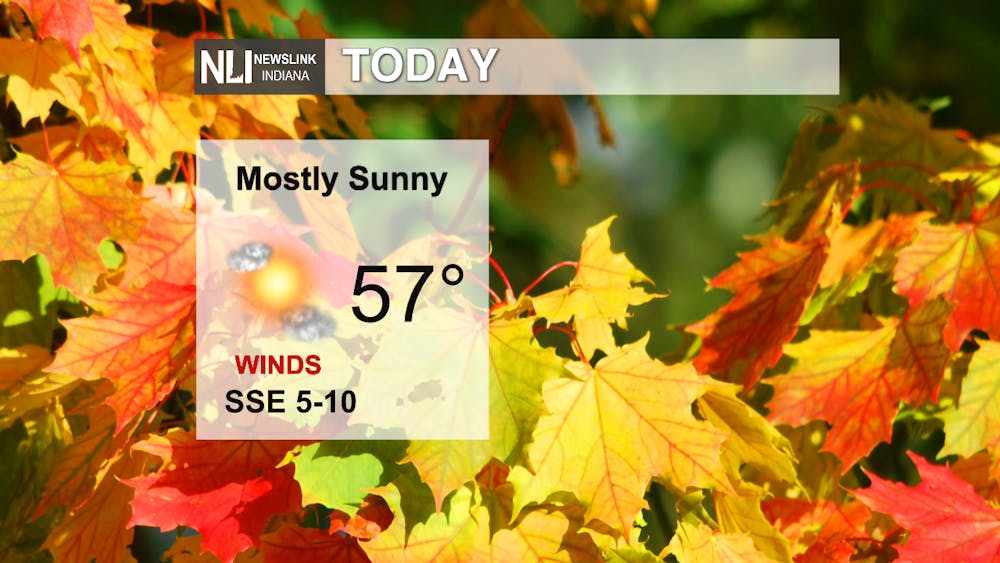
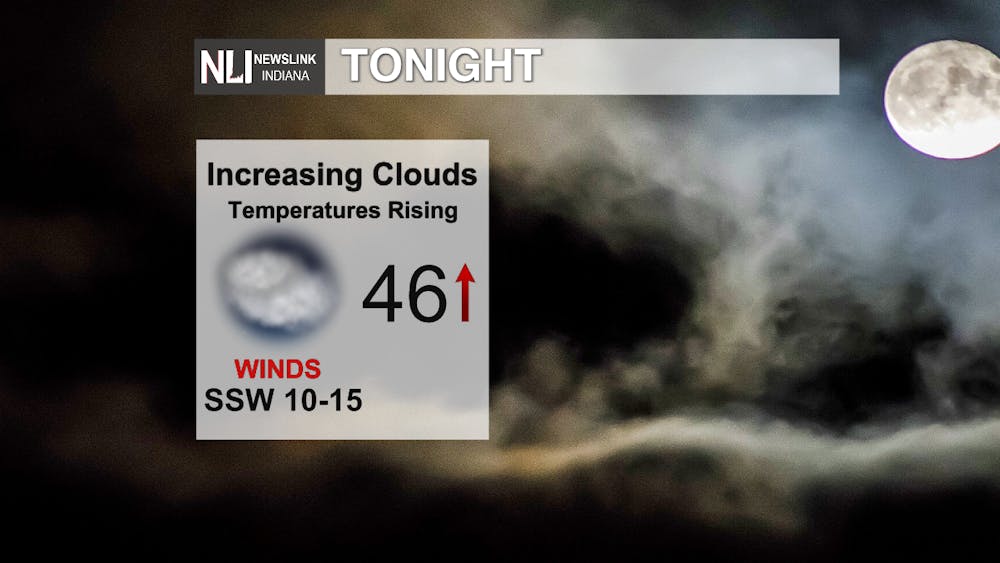
Today: The high today is 57 degrees with mostly sunny skies. A low tonight falling around 46 degrees by 6 PM with increasing cloud coverage. The temperatures will rise throughout the night as a warm front moves through reaching around 58 degrees by Wednesday morning.
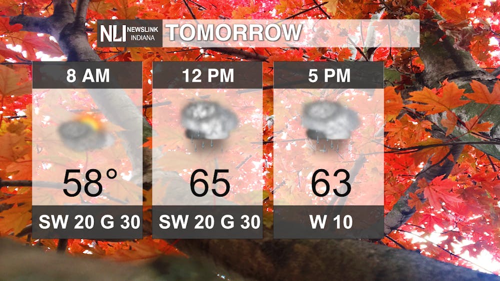
Tomorrow: A warm start to our Wednesday reaching 58 degrees by 8 AM. Some rain showers as we move throughout the day with a high of 65 degrees around noon. Along with the chance of rain is winds at 20 mph with gusts of up to 30 mph from the southwest.
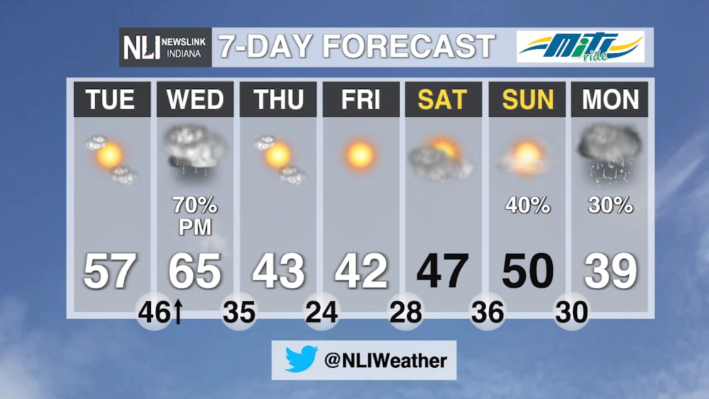
7-Day: A warm Wednesday with a chance of rain showers. Warm temperatures don't last long as we see a quick decline on Thursday with a high of 43 degrees. Temperatures in the 40s continue until Monday as we have a chance for rain and snow and a high temperature of 39 degrees.
--- Weather Forecaster Dimitri Gegas
Follow us on Twitter @NLIWeather for breaking weather updates.
NewsLink Indiana is a proud Ambassador for the NOAA Weather-Ready Nation program.
For more information about the Weather-Ready Nation
program please click HERE