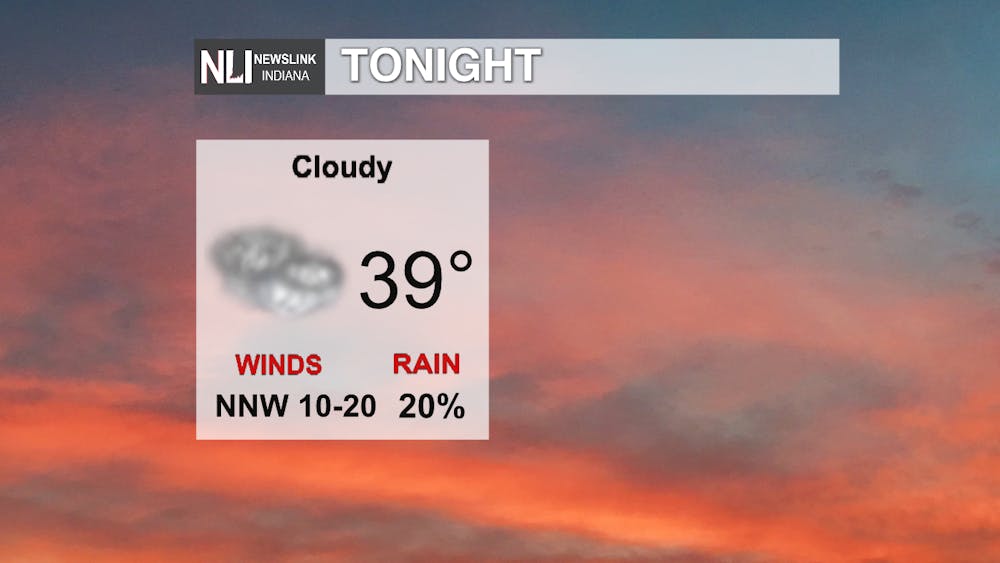
Tonight: Clouds have begun to settle into the forecast area all ahead of our next big weather system. Once a cold front moves through, winds will shift to the north at 10-15 mph-- some gusts could reach 20 mph. This will blow in much cooler air. A few showers late overnight aren't out of the question, but it will stay mostly dry until after daybreak.
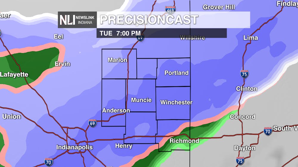
Tomorrow: This is when the fun begins... The 80s we saw were a tease because it's going to feel like winter again with highs only in the mid-40s. Rain showers will become more likely by the afternoon, and snow will begin to form on the backside of the showers. A transition from rain to snow will take place by the early evening. With the warm temperatures we've seen, snow won't be sticking around much except for on grassy and higher elevated areas. That's not to say driving won't be an issue. Heavy bands of snow could cause low visibility, and there could still be some slick spots-- especially overnight. Roads will be wet at first, but persistent snowfall will cause those slippery conditions. 1-3 inches of snow is possible by Wednesday morning with the highest amounts in the northwest.


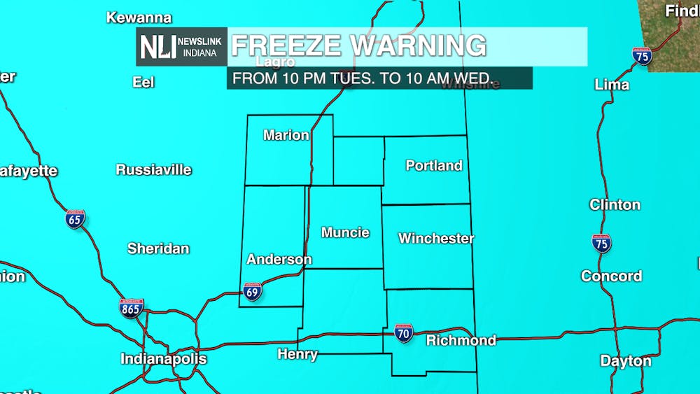
Freeze Warning: A freeze warning is in effect Tuesday night through Wednesday morning. This means temperatures will fall below freezing and greatly impact crops, plants, and pipes. The National Weather Service recommends covering any outdoor plants or above-ground pipes and leaving faucets dripping overnight.
7-Day: There could be a stray snow or rain shower during the day Wednesday, but any snow sticking to the ground should be gone by Thursday as temperatures rise near 50. By the weekend, temperatures will start to become more seasonable in the upper 50s and low 60s. Saturday brings our next best chance of rain after Tuesday's system (no snow this time). By next week, we'll once again see temperatures in the mid-60s.

-Weather Forecaster Natasha Leland
Follow us on Twitter @NLIWeather for breaking weather updates.
NewsLink Indiana is a proud Ambassador for the NOAA Weather-Ready Nation program.
For more information about the Weather-Ready Nation program please click HERE


