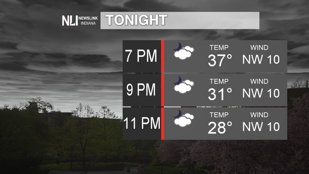
Tonight: Calm conditions are expected tonight, with temperatures falling into the mid-30s. A weak low pressure system will pass to the south of Indiana, keeping the clouds in place throughout the night.
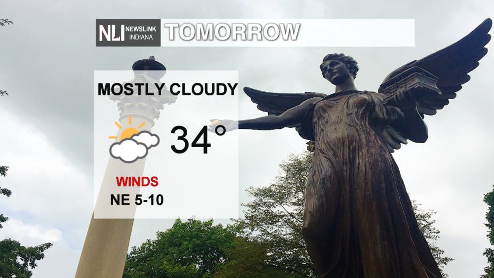
Tomorrow: A fairly similar weather story to Wednesday is expected tomorrow, with cloudy skies and temperatures slightly cooler in the low to mid-30s. The system passing to the south will keep cold air and clouds in place. Winds will be from the northeast at 5-10 mph.
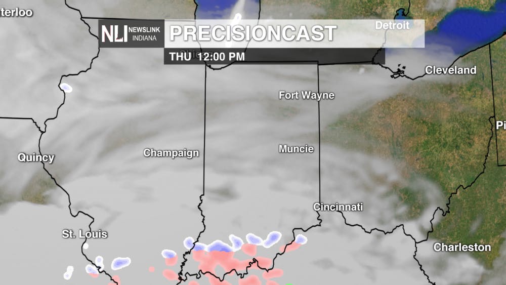
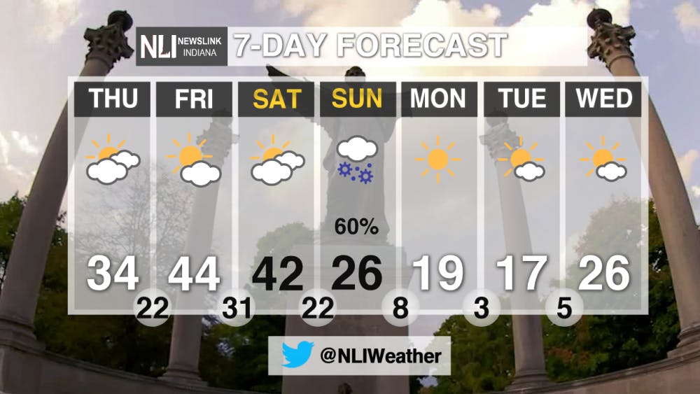
7-Day Forecast: Friday is the first day of March, and it sure is going to come in like a lion. A nice warmup is on the way to end the workweek before winter makes a return by Sunday. A cold front will pass through late Saturday into Sunday, setting the stage for snow on Sunday behind the front. It is still too early to speculate on potential accumulations, as a change in the system’s trajectory can have a big impact on the amount and duration of snowfall. The bigger story is the arctic chill that returns early next week. An extended period of temperatures in the teens and lows in the single digits is very unusual for March. Not the ideal conditions for Ball State students over Spring Break. Stay tuned with NewsLink Indiana for the latest updates on Sunday’s snow potential and the arctic chill next week.
---Weather Forecaster Nathan Gidley
Follow us on Twitter @NLIWeather for breaking weather updates.
NewsLink Indiana is a proud Ambassador for the NOAA Weather-Ready Nation program.
For more information about the Weather-Ready Nation program please click HERE

