
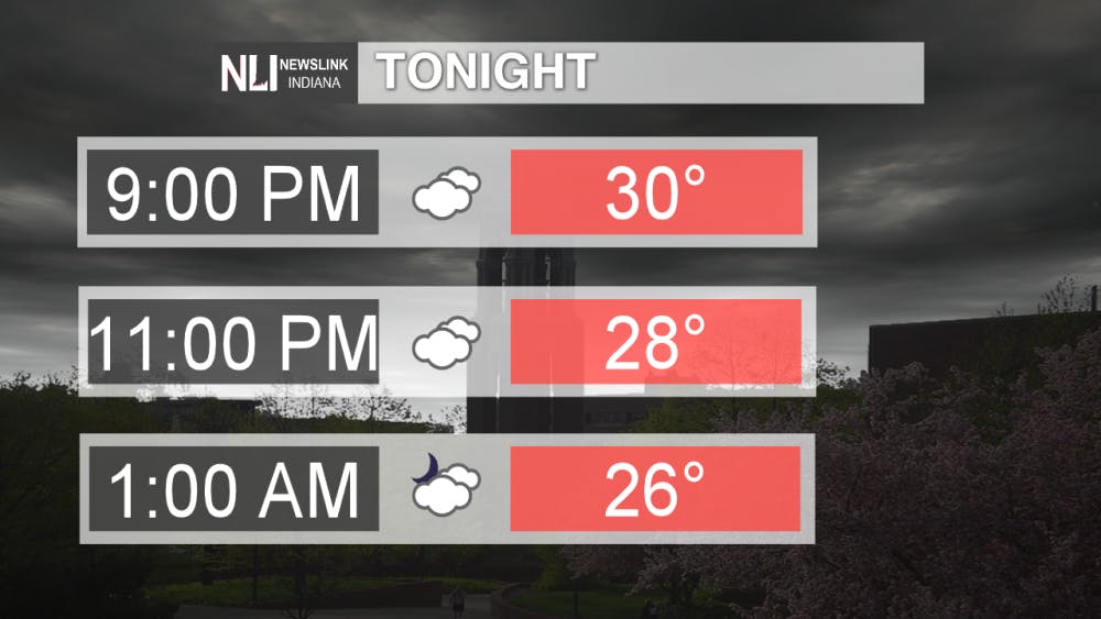
Tonight: If you are heading out tonight, we're expecting cold temperatures and windy conditions. Wind chills will be in the lower 20s during the evening and will bottom out in the upper single digits by tomorrow morning. A few isolated snow showers are possible early, but most of the area should remain dry. Bundle up and crank up the heat tonight!
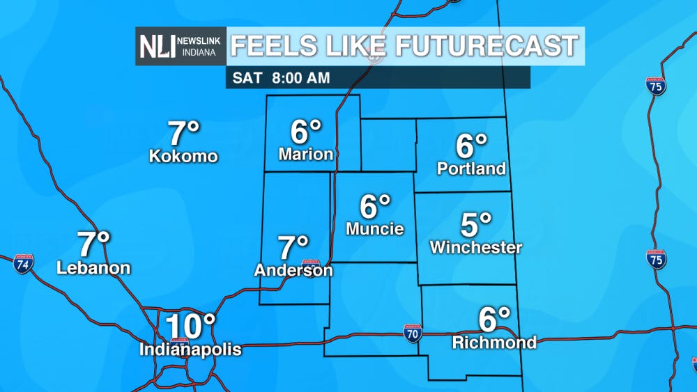
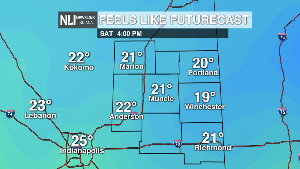
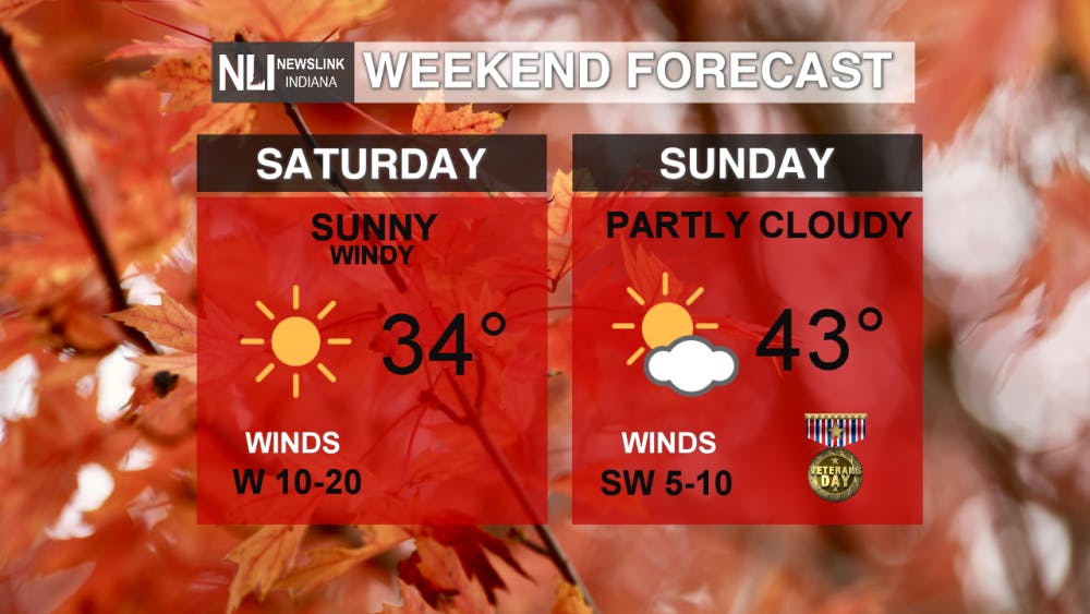
Weekend Forecast: Overall, it will be a very chilly weekend for this time of year. The bitter wind chills on Saturday will make it feel more like winter! However, the return of sunshine tomorrow will be a nice bonus. Veteran's Day will warmer and less windy, with highs in the low to mid-40s, with just a few clouds.
7-Day Forecast: The next seven days look to be cold, but mostly dry. Our next best chance for precipitation will be Tuesday when a low pressure system passes to our east. Snow showers are possible in association with this system, but the amount and intensity of snow is still too early to determine. Should the system take a more northern track, we could see some rain mix in with the snow. Stay tuned for the latest updates on Tuesday's snow chance. After Tuesday, sunshine will return, with high moving back up into the 40s to end the week.

Have a great weekend!
---Weather Forecaster Nathan Gidley
Follow us on Twitter @NLIWeather for breaking weather updates.
NewsLink Indiana is a proud Ambassador for the NOAA Weather-Ready Nation program.
For more information about the Weather-Ready Nation program please click HERE
Read More

Too queer or not queer enough?
By Kate Farr / 2 hours agoMy queerness isn’t something that can be measured, and it’s not anyone else’s to define

Spring weather heating up into the weekend
By Rachel Fulton / 12 hours agoWeather Forecaster Rachel Fulton is tracking warm temperatures as spring kicks into high gear.

Six people dead in helicopter crash in the Hudson River in New York City
By NewsLink Indiana Staff / 13 hours agoHelicopter breaks apart mid-air, crashing upside-down into the Hudson River.
