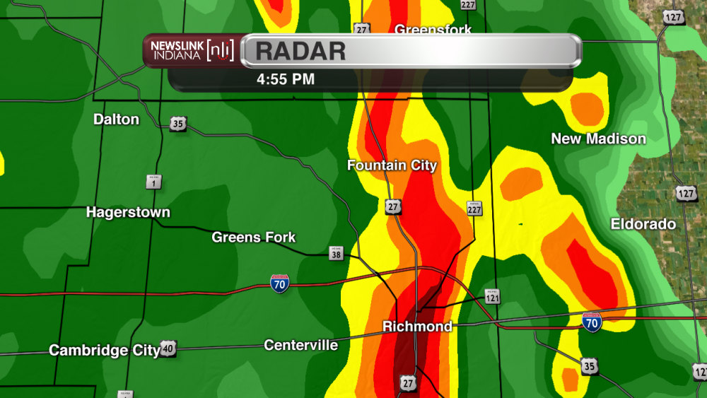
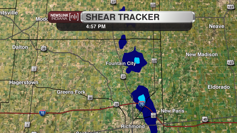
MUNCIE, IN (NewsLink Indiana) - An unusual late season round of severe weather went through east central Indiana last night, prompting several severe weather warnings, leaving behind some wind damage, and even spawning a small EF-0 tornado in Wayne County near Fountain City, which thankfully caused no injuries. The National Weather Service office in Wilmington, Ohio confirmed that the tornado occurred around 4:55 pm and was on the ground for 3.25 miles. The tornado touched down to the east of Fountain City and progressed off to the Northeast. This small twister was around 30 yards wide at its largest point and packed a maximum wind speed around 77 mph.
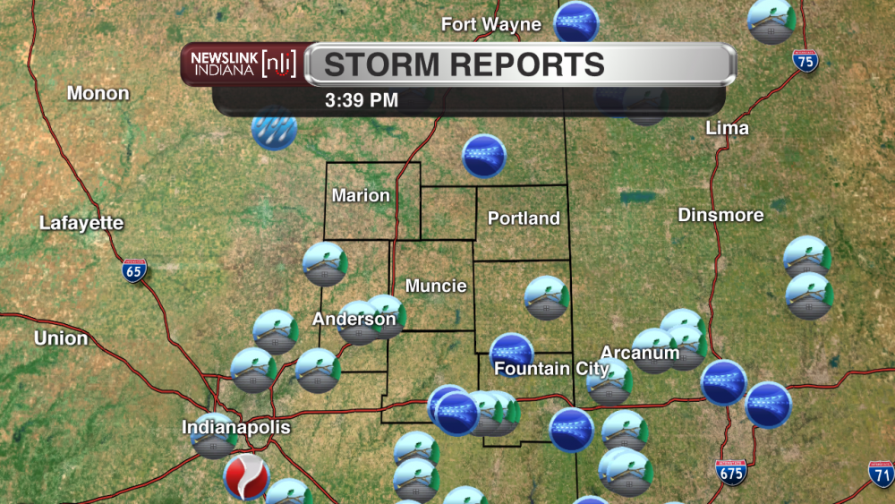
This line of storms caused damage and spawned tornadoes all around the Midwest and Southern States, and even caused three additional Indiana tornadoes. These occurred in Noblesville, Greenwood, and along the Rush/Decatur County line. All of these were rated at an EF-1 level by the National Weather Service office in Indianapolis, none of which resulted in any injuries. As of now there were 15 different storm reports from inside the NewsLink Indiana coverage area, most of them related to wind damage or wind gusts, not including the reported tornado in Wayne County. Below is a quick overview of some of yesterday's events.
*If you have any storm damage or storm pictures you wish to share please Tweet them to @NLIWeather*
Total Storm Reports:
Overturned Semi In Madison County Likely Related To Storm Winds: (Photo By: Bryan M. Hughes)

Wind Damage in Wayne County: (Photos By: Jim From Tornado WX Chasers)
NewsLink Indiana Radar at Time Tornado Warning Was Issued:
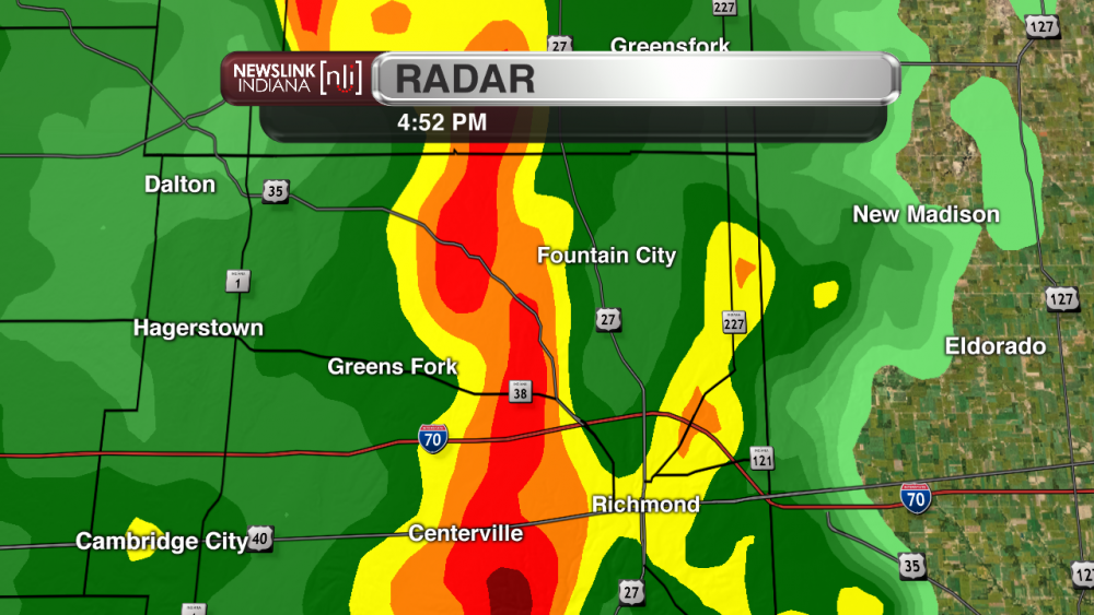
Radar and Shear From Time of Tornado:
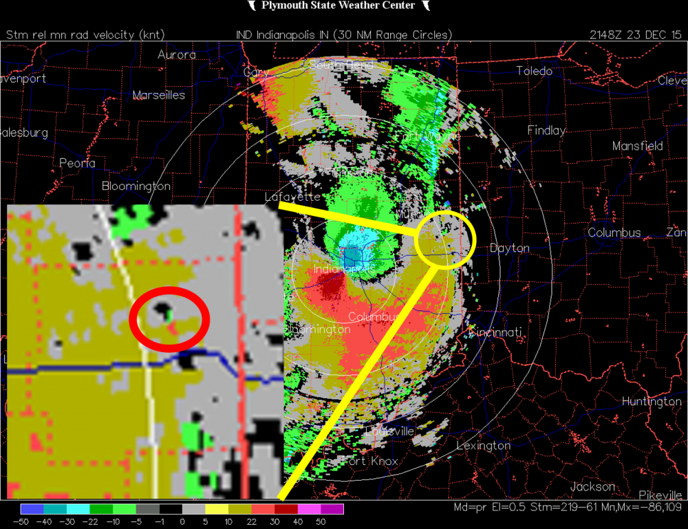
NWS Radar From Right Before The Time of Tornado: (Image Source: Plymouth State)
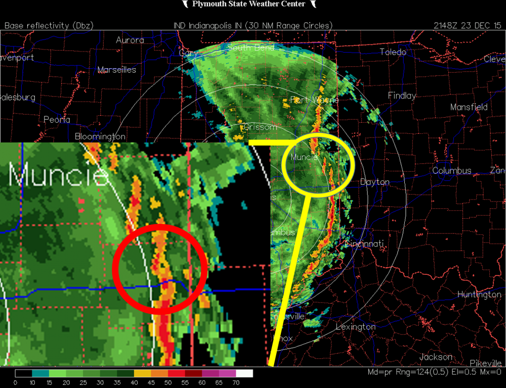
Storm Relative Velocity From Right Before The Time of Tornado Showing Rotation: (Image Source: Plymouth State)
