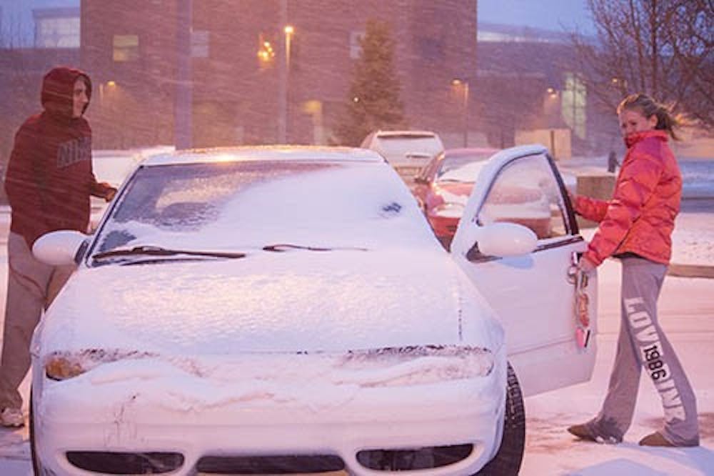
PITTSBURGH — A wide-ranging storm is hitting the East Coast after blanketing the Midwest and burying thoughts of springtime weather under a blanket of heavy wet snow and slush, though less snow was predicted to fall as the storm moves eastward.
Light rain and snow fell in New Jersey on Monday morning after as the storm dropped 2 to 6 inches in Ohio.
Similar accumulations were expected in some areas of Pennsylvania, except for higher elevations like the Laurel Mountains southeast of Pittsburgh, where 6 to 10 inches were forecast. No major problems reported.
In the mid-Atlantic, Heather Sheffield, a meteorologist with the National Weather Service in Sterling, Va., said more than 3 inches of snow had been reported by 8 a.m. Monday at Washington Dulles International Airport, and more than an inch at Reagan National Airport.
Sheffield said most of that region's expected snowfall had already occurred, but "it happened at the worst time for the morning commute. I know I had a tough time."
The winter-like early spring weather forced the cancellation of more than 500 flights.
And, the slushy morning commute and widespread school delays as the storm moved eastward were minor compared to the storm's impact on the Midwest, where it was blamed for separate crashes in Illinois, Kansas and Missouri on snow-slicked roads.
Springfield, in central Illinois, got slammed with a record 17 inches of snow, and several central Indiana counties declared snow emergencies after getting hit with up to 8 inches of snow.
Slick roads were also being blamed for a series of crashes on Interstate 60 north of Indianapolis that sent two people to area hospitals with life-threatening injuries. The Indiana State Police reported late Sunday that two people in a 2012 Subaru were hurt when the driver lost control while coming upon the scene of a previous crash involving a semitrailer. The Subaru hit the tractor-trailer and ended up in a ditch, police said. Authorities said both driver and passenger had life-threatening injuries and were taken to area hospitals. An update on their conditions was not immediately available.
Earlier Sunday night, a jack-knifed semi and subsequent fuel leak required a hazardous materials response outside Indianapolis, officials said. The Fishers Department of Fire and Emergency Services said a tractor-trailer was southbound on Interstate 69 when its driver lost control. No one was injured.
The storm was expected to weaken as it moved east. Before it exits off the coast of New Jersey on Monday night, the storm was forecast to leave 2 to 4 inches in that state as well as Delaware, northern Maryland and southern New York.
To the west, parts of Colorado and northwest Kansas spent Sunday digging out from 10 to 15 inches of snow that were dumped there Saturday. Southwestern Nebraska got up to 7 inches. Winds gusting at speeds of up to 45 mph created snow drifts of 2 to 3 feet in the three states, said Ryan Husted, a meteorologist with the National Weather Service in Goodland, Kan.
"We have pretty much cleared out. Sunny skies. It's starting to melt a little bit," Husted said Sunday. Transportation officials reopened several closed highways, including a stretch of Interstate 70 spanning from Denver to Colby, Kan.
Authorities on Sunday also released the names of two people killed in separate crashes. In northeast Kansas, Anthony J. Hinthorne, 40, of Topeka, was killed Saturday afternoon in a single-vehicle crash and rollover on the Kansas Turnpike as snow was falling in Shawnee County, the Kansas Highway Patrol said. Later that night, Joshua J. French, 24, of Naperville, Ill., was killed when he lost control of his vehicle on a wet stretch of Interstate 35 in eastern Missouri's Clay County.
In the central Missouri town of Columbia, TV station KOMU was briefly evacuated Sunday morning because of high winds and a heavy buildup of snow on the broadcast tower next to the building. And Missouri Gov. Jay Nixon announced he was cancelling a couple events planned for Monday because of the weather.


